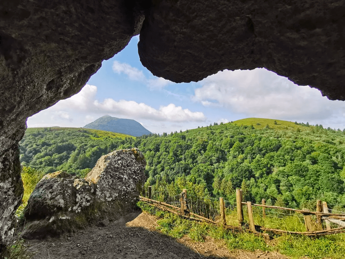
Hiking
Hiking maps are available in the Gîte.
The Balirando site is very useful: 3300 km of hikes in the Puy-de-Dôme and the Auvergne with map, description and GPX.
The free Komoot app makes it easy to find hiking and biking routes.
With the walk "Les Merciers Tralaigues" you start from the cottage.
Villages nearby like Landogne, Villosanges , Montel de Gelat, , Saint-Priest-des-Champs and Miremont have signposted walks.
Landogne is one of our favorites. But also the walk in Miremont is very much appreciated by our guests.Further afield, you can hike to your heart's content in and around the Puys, the Sancy massif and everything in between.
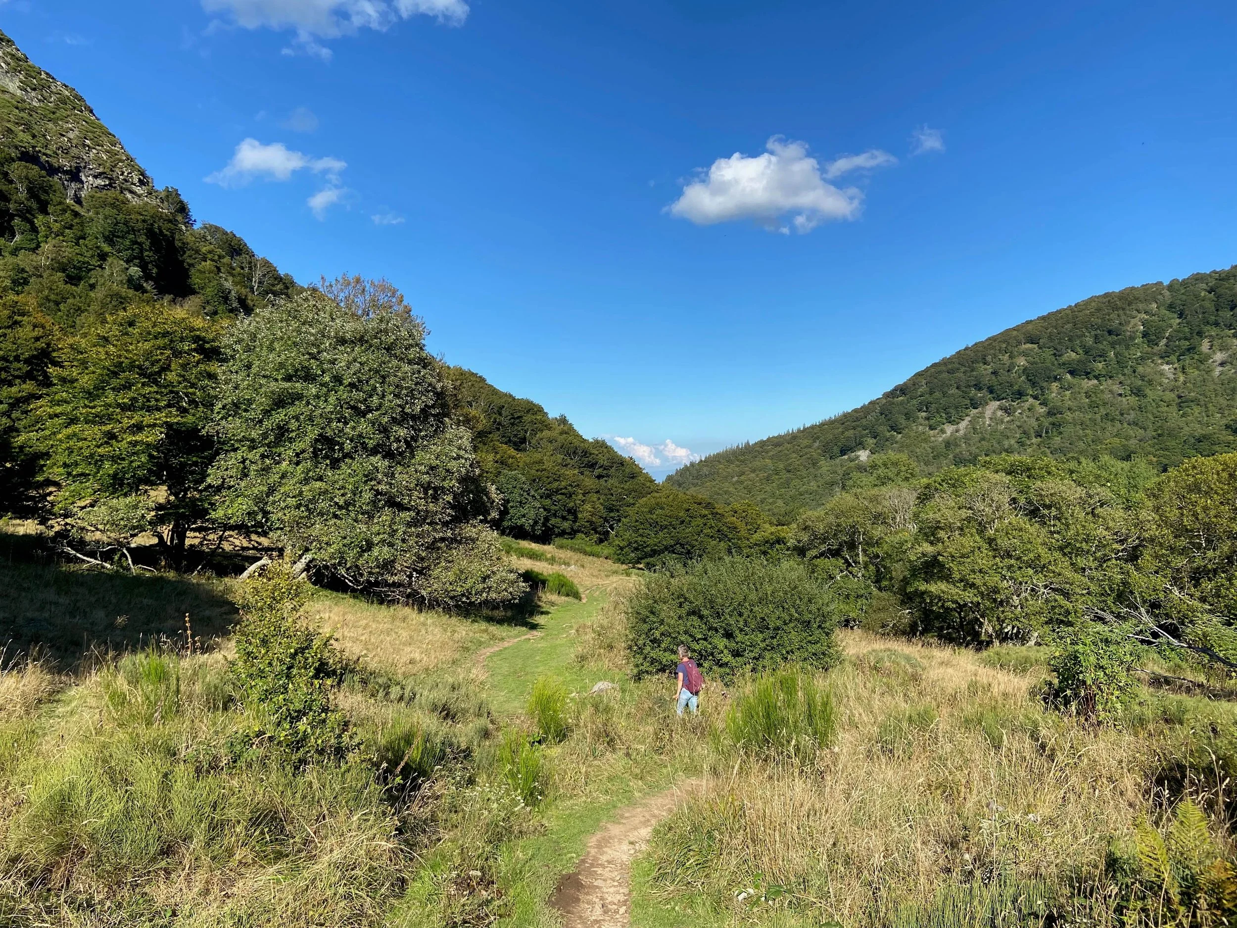
Les Merciers Tralaigues
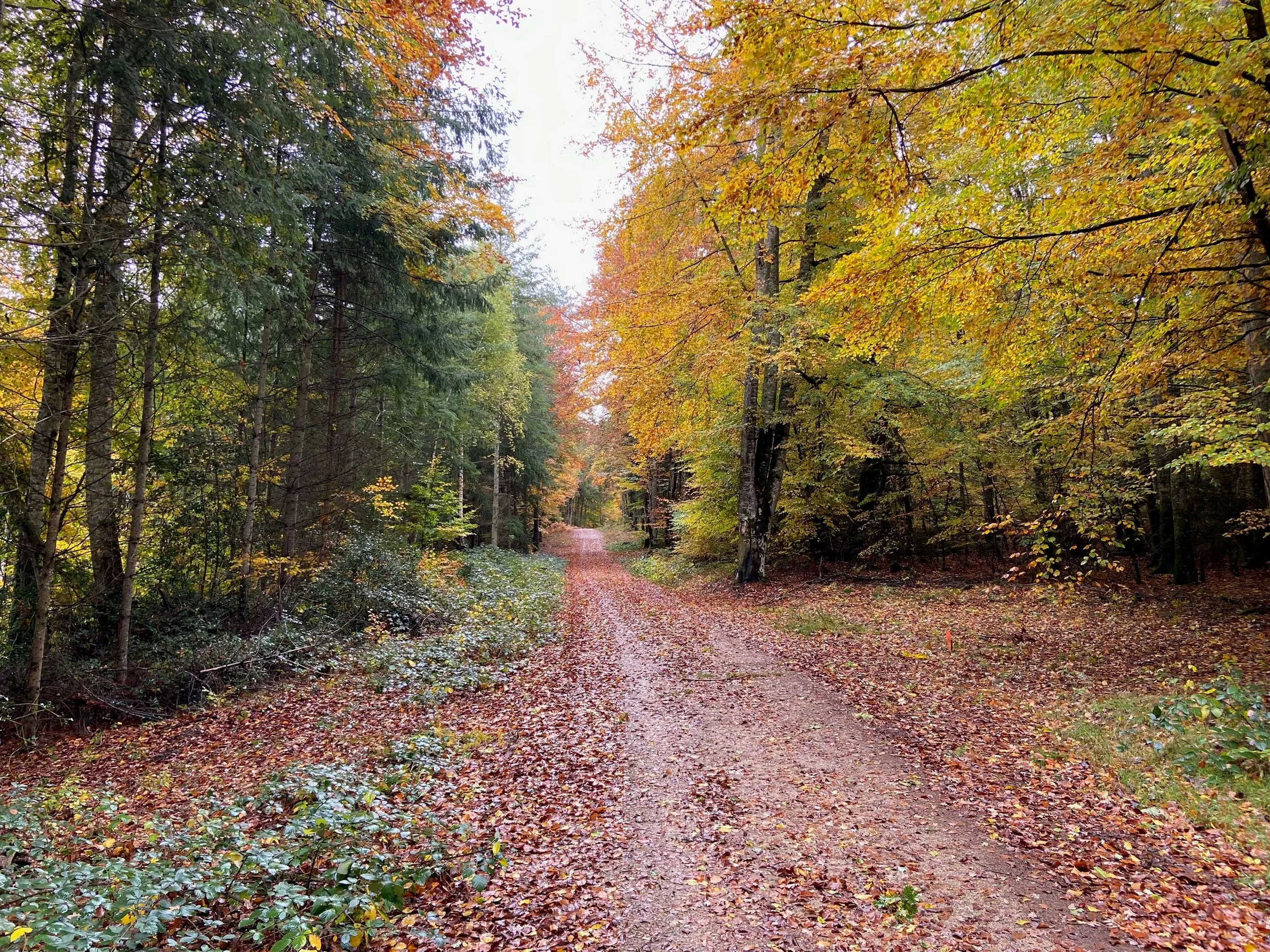
Hike "Les Merciers Tralaigues": you leave from the gîte and take a lovely walk to the forest.
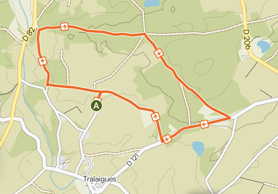
Walk "Les Merciers Tralaigues"
There are several possible routes.
The image above shows the 5.03 km route (longest route).
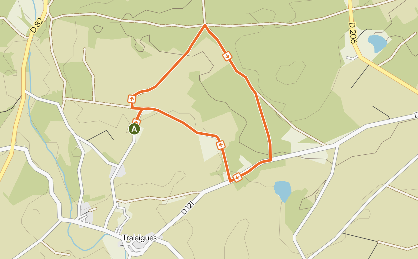
The image above shows the 3.2 km route.
Signposted walks in the area
Landogne
Landogne, a marked walk along La Saunade and through the forest. Peace, quiet, beauty, understated.
Miremont
Miremont. Along the banks of Le Sioulet to Confolant.
Departing by car from Villlosanges - you drive through Miremont - you see the wedding scene in front of you, then continue to follow the road just outside the village. You can park on your left. There is a sign with the walk. Goes quite steeply up and down.
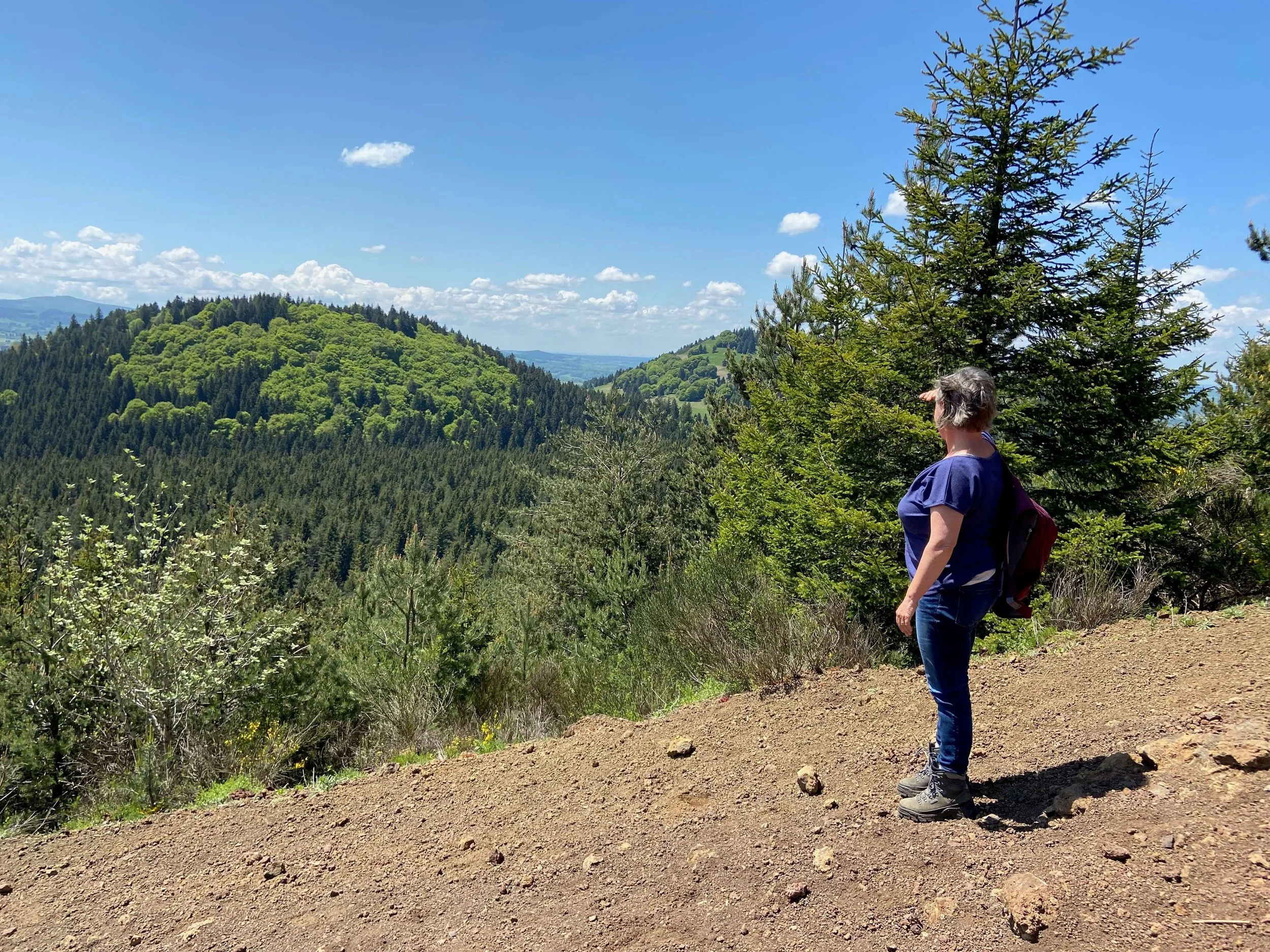
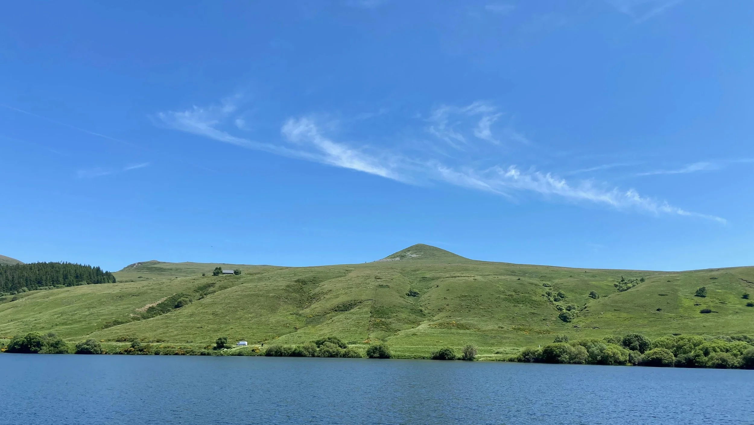
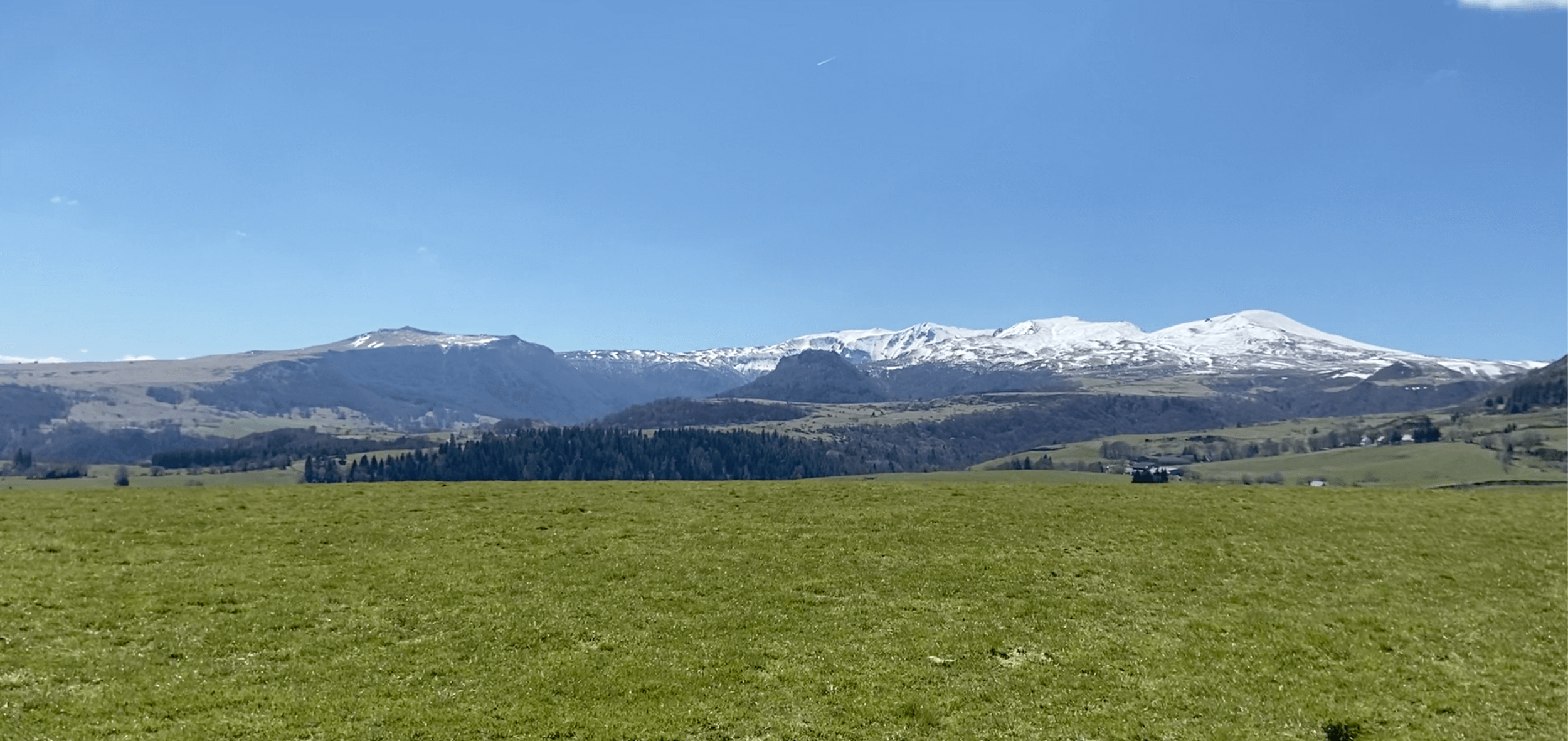
Parc Naturel Régional des Volcans d’Auvergne
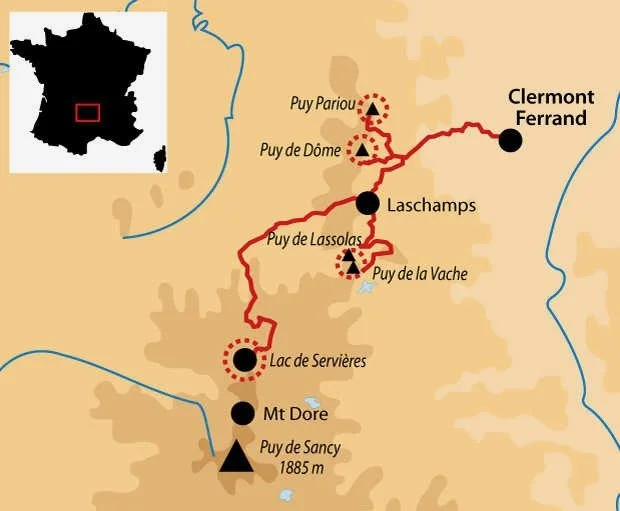

Parc Naturel Régional des Volcans d’Auvergne, an enormous nature reserve with remarkable landscapes and equally remarkable fauna and flora. Of the 80 dormant volcanoes - Chaîne des Puys - the Puy de Dôme is the best known.

Climb the Puy de Dôme, with its 1465 meters height, the highest volcano in the mountain chain of Les Puys, or descend into the navel of Mother Earth in Puy de Pariou.
Puy de la Vache et Lassolas
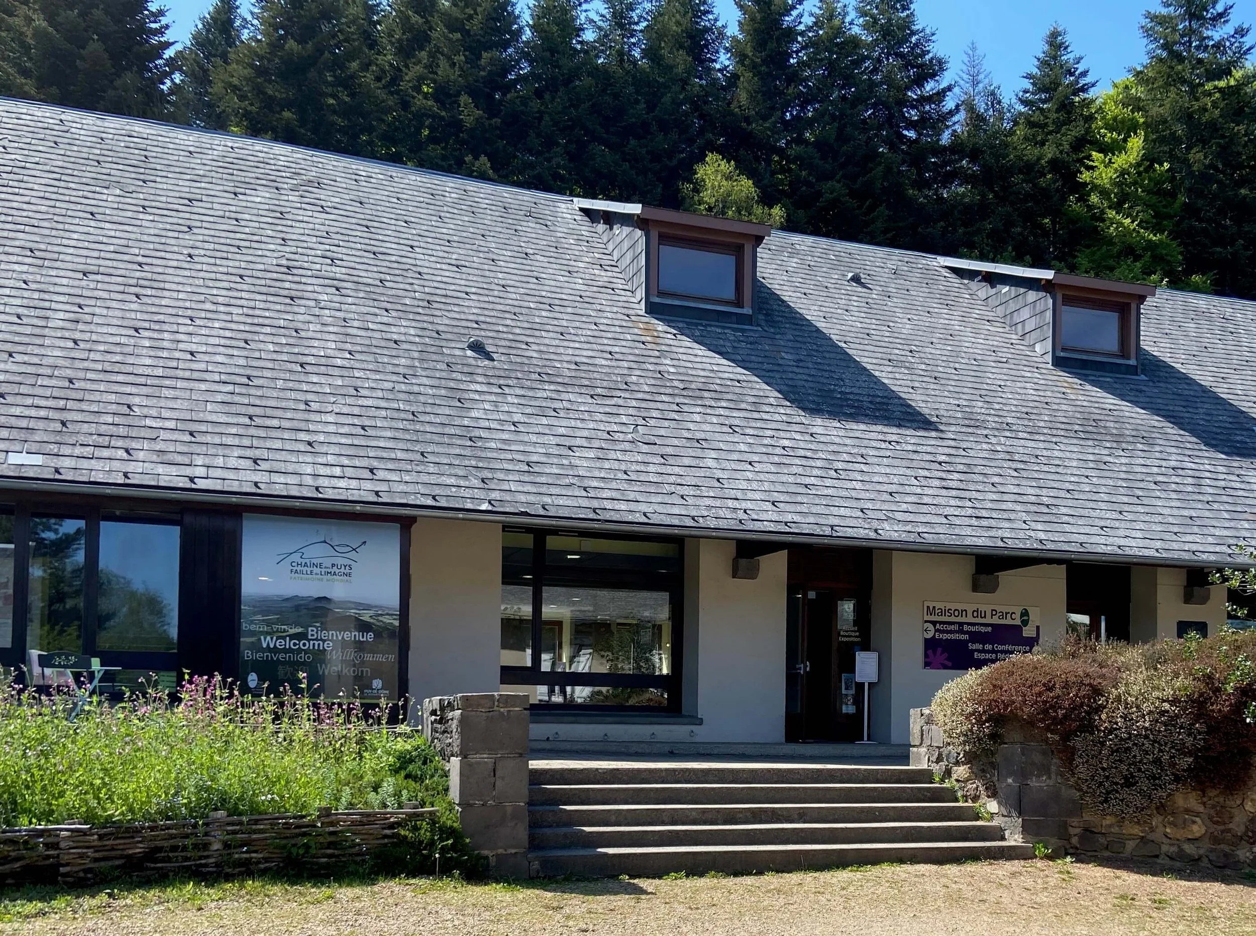
Puy de la Vache et Lassolas. All information about the walks in the area can be found in the Maison du Parc in Montlosier. You will also find documentation about volcanism in the Auvergne.
Vallée de Chaudefour
Vallée de Chaudefour.
From here you can reach the top of the Sancy via an 8 km climb. You can also choose to walk in the valley “Fond de vallée” (1 hour)
After the walk you can still enjoy the evening sun at the “Lac Chambon” at about 6 km and have a nice meal in “La Taverne du Lac”.
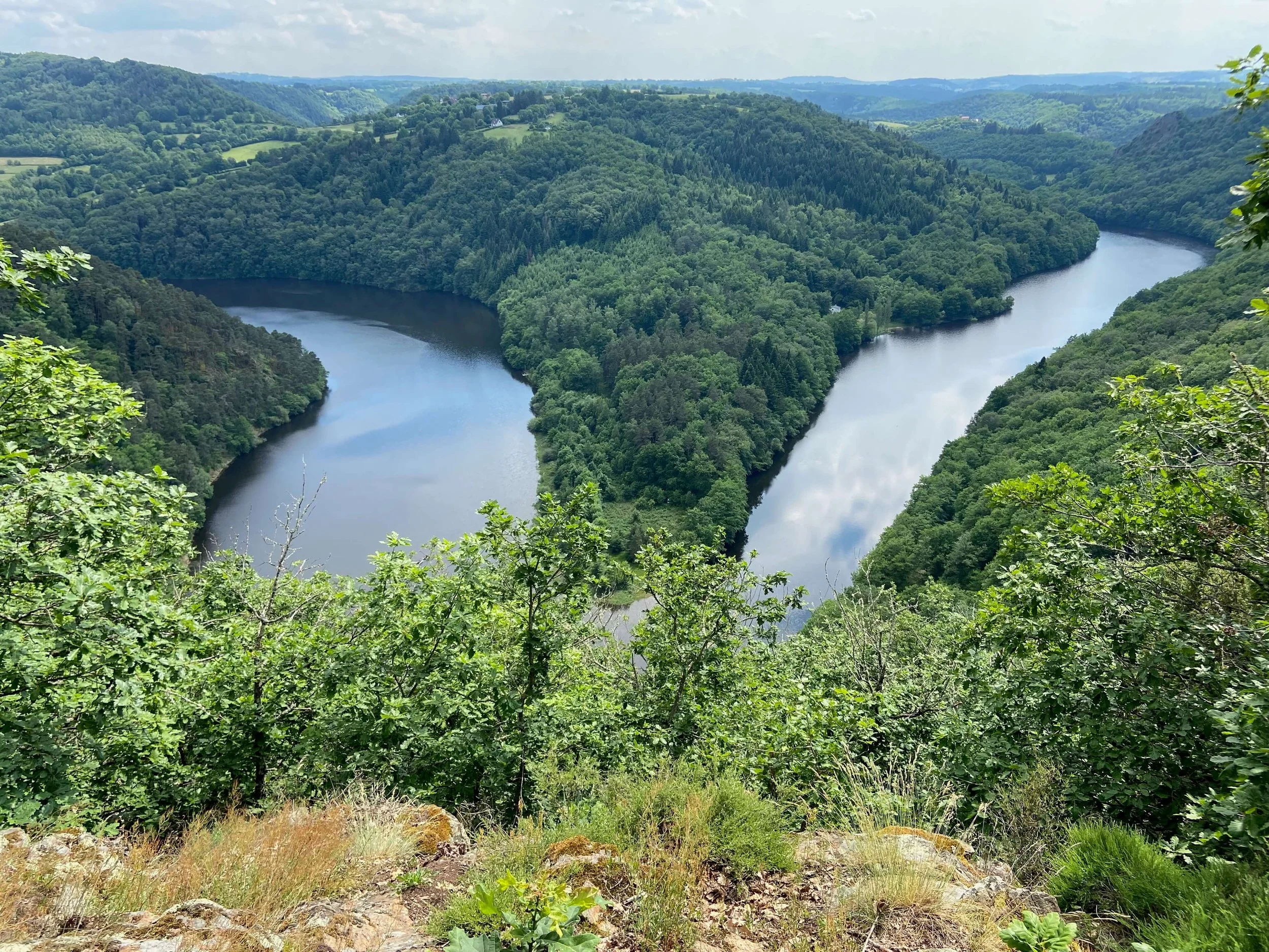
Meander van Queuille
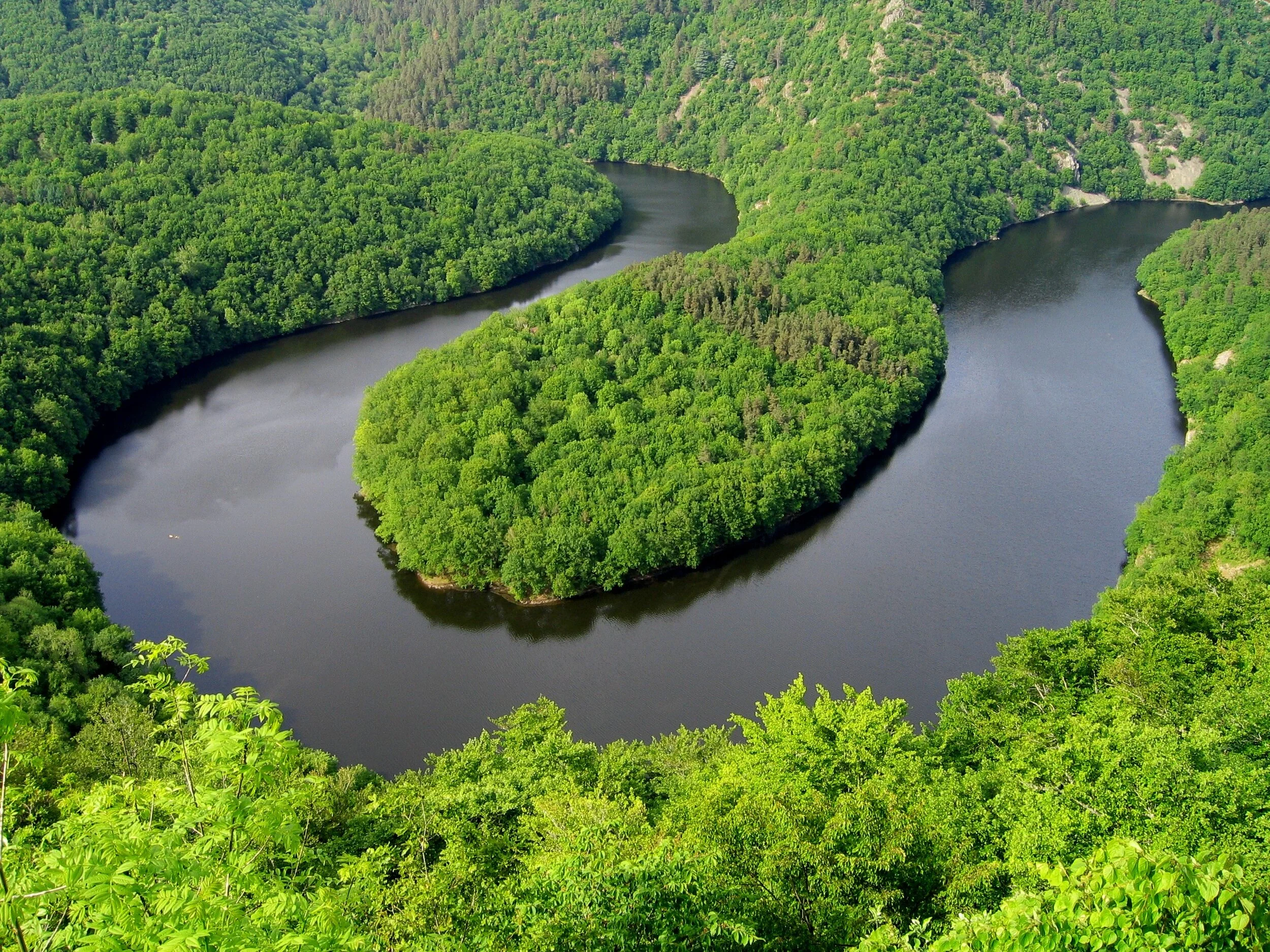
Meander van Queuille
Gorges de Sioule, a stunning gorge carved out by the Sioule River. An undiscovered gem in the heart of France.
The Gorges de Sioule are part of the Natura 2000 protected nature reserve.
Le Massif de la banne d'Ordanche
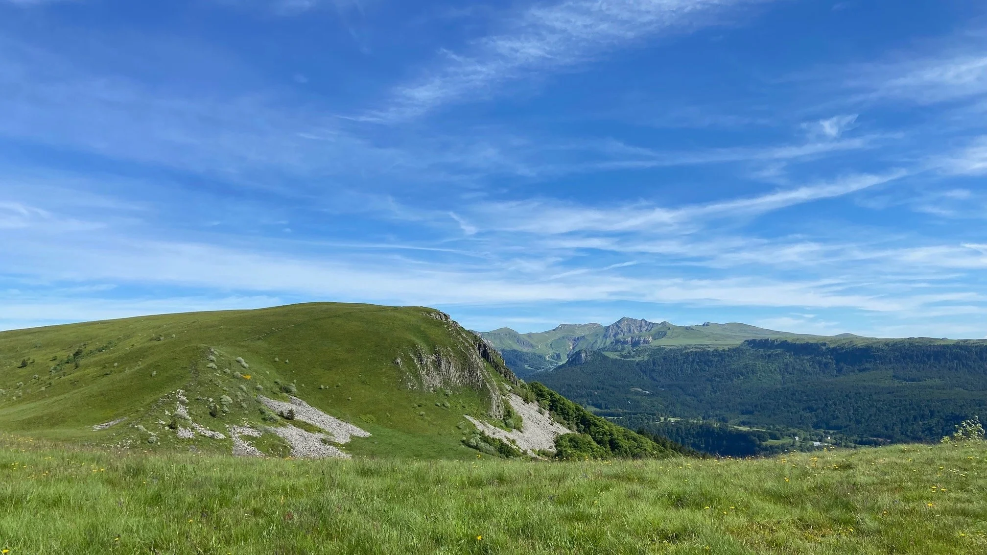
Le Massif de la banne d'Ordanche
From Lac de Guery to Le Massif de la banne d'Ordanche
Depart from Lac de Guery - you can park behind the “Auberge du Guery” and walk through Icelandic landscapes to Le Massif de la banne d'Ordanche.
Roches Tuilière et Sanadoire
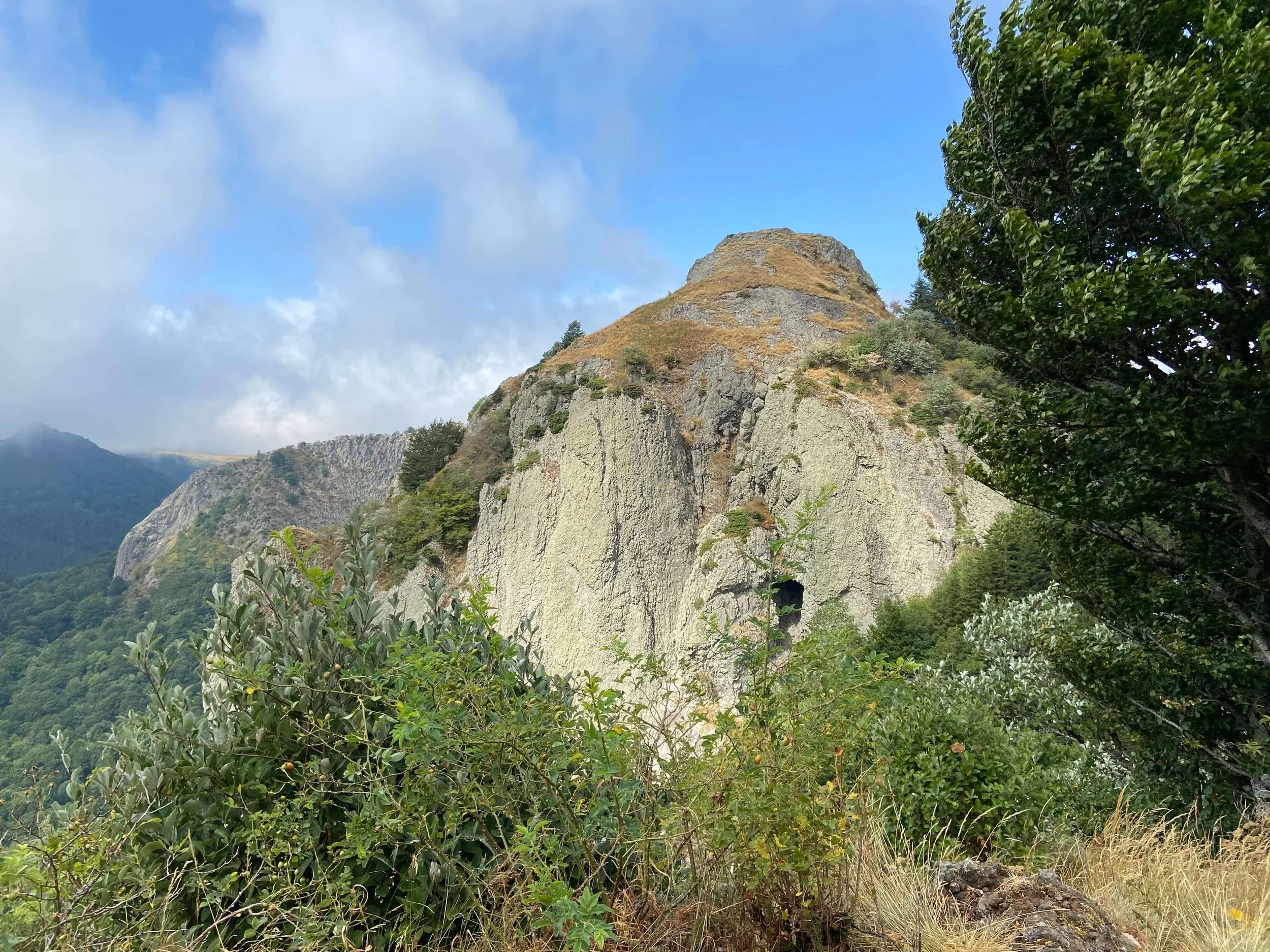
Roches Tuilière et Sanadoire
Vallée de la Fontaine Salée
Chastreix. Vallée de la Fontaine Salée. Departure at Parking Pierre de l’Aigle. Montagne de Courlande area.
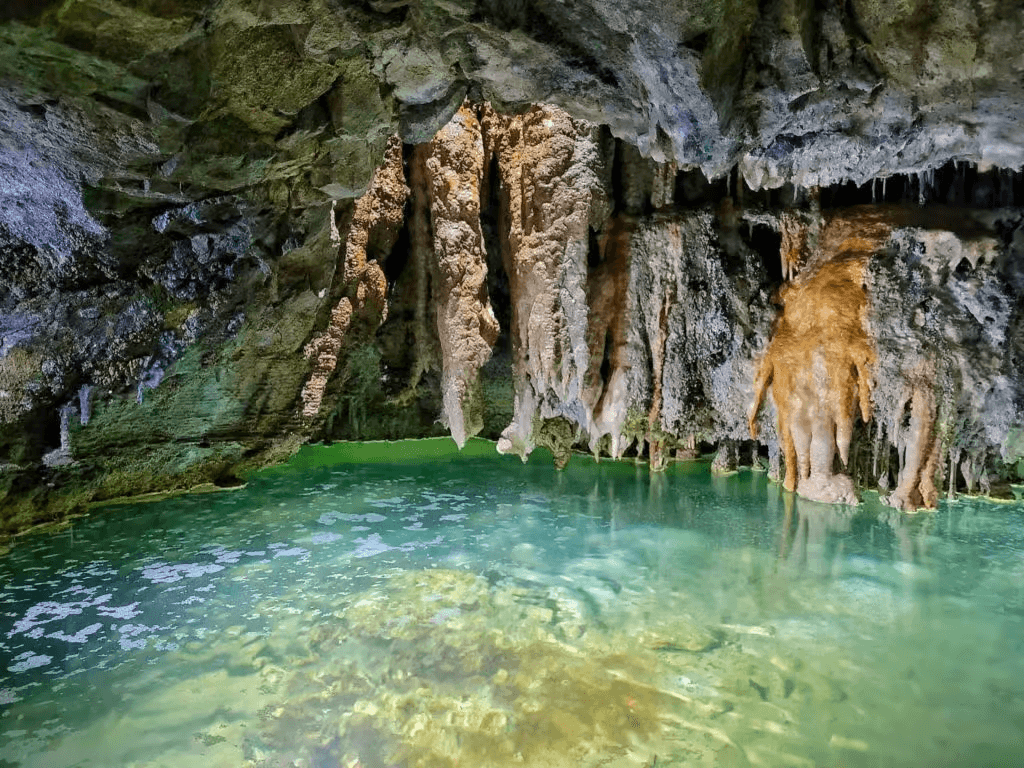
Caves
Les plus belles grottes du Puy-de-Dôme à visiter. https://blog.toploc.com/blog/france/grottes-du-puy-de-dome
Grottes de Châteauneuf
Grottes de Châteauneuf
Grottes de Cliersou

Grottes de Cliersou
Grottes du Cornadore
Grottes du Cornadore
Waterfalls
In the Gîte you will find a booklet “Cascades du Massif Central”, a practical guide for those who want to discover this natural beauty.
Cascade de Guéry, Mont-Dore.
Cascade de Guéry, Mont-Dore.
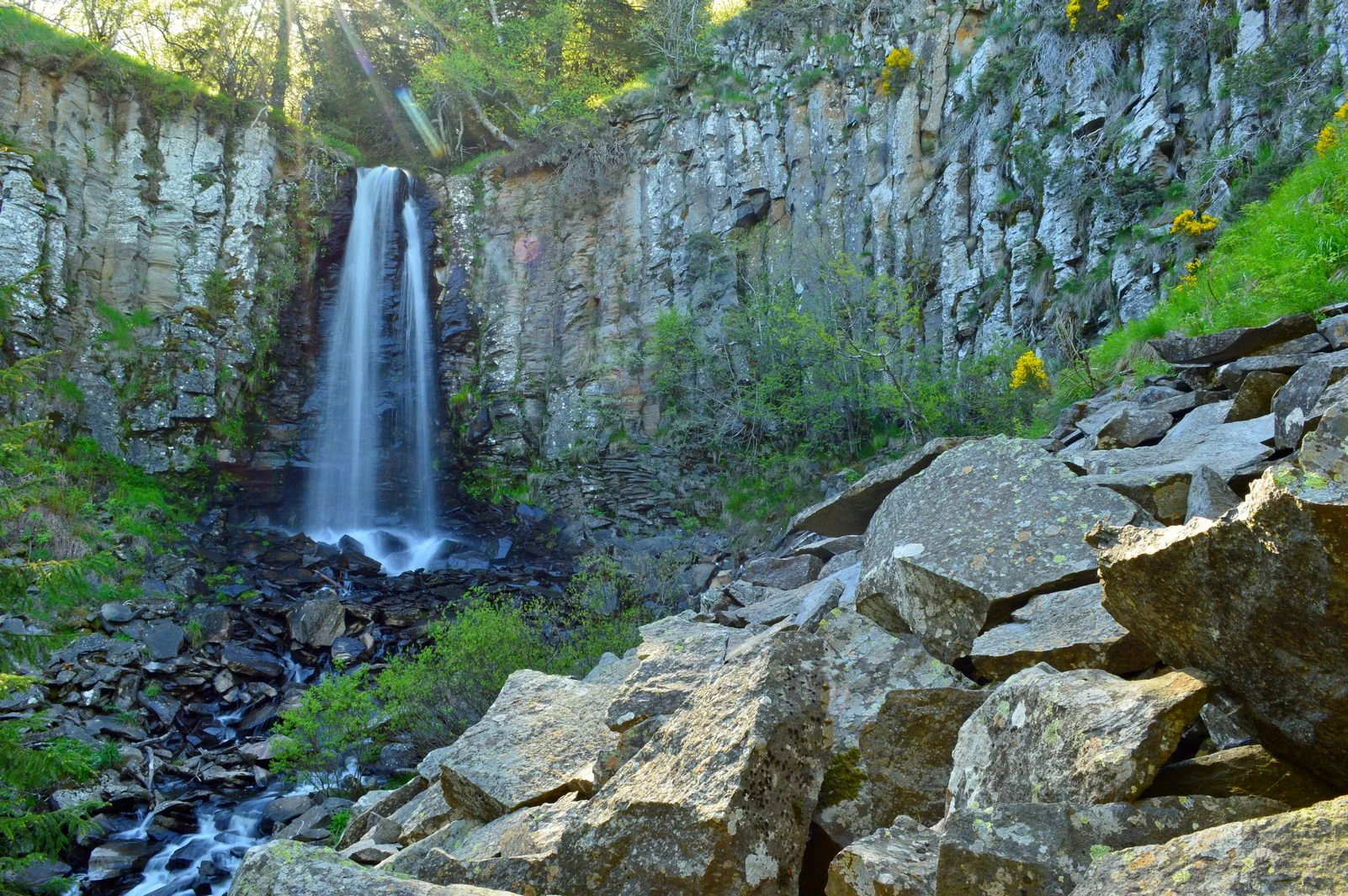
Cascade de Saint Priest des Champs

Cascade de Saint Priest des Champs.
Walk to the waterfall (1/2 hour) and visit the bakery “La cascade de Pains” next to the church.
La Roche d’Agoux
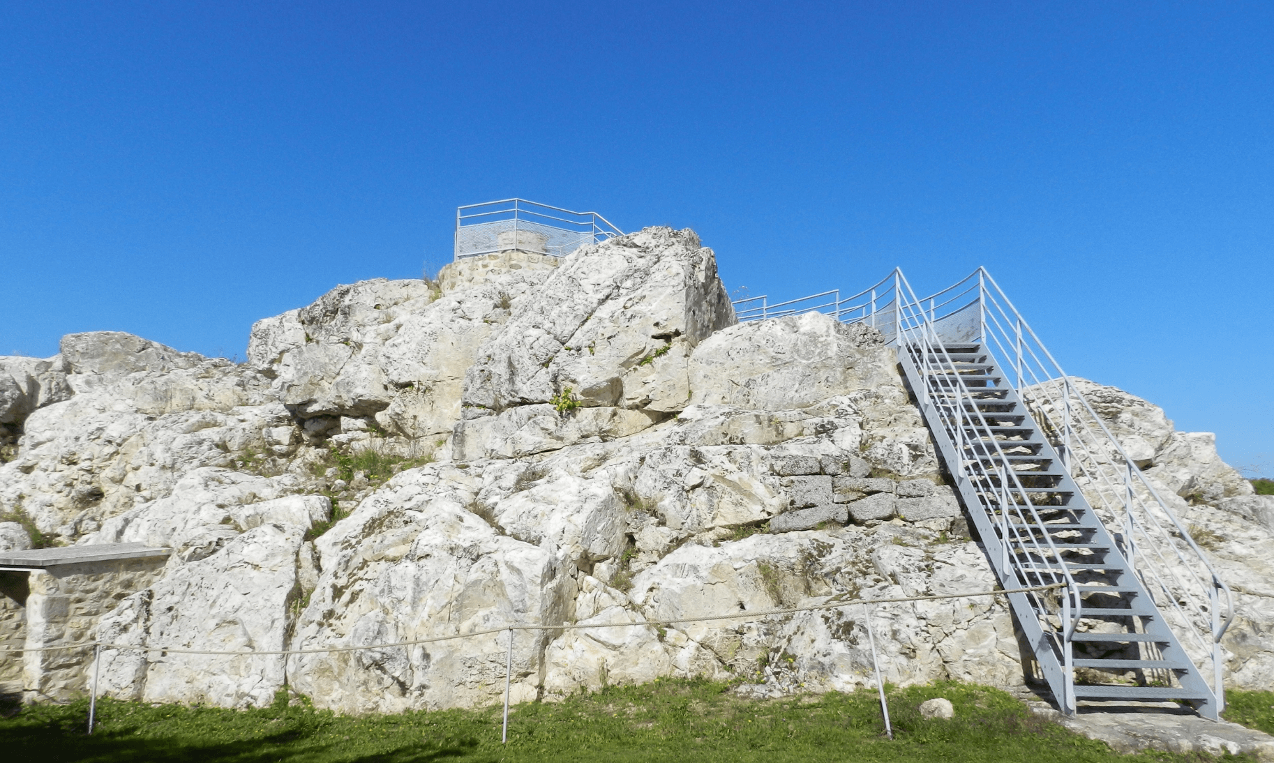
In the village of Roche d’Agoux, a quartz vein - which mainly runs from the Evaux-les-bains area to Biollet - comes completely above ground. From the quartz peak (723 m height) you have a beautiful 360 ° view of the surrounding area.